This site serves as a User’s Guide for Two-dimensional Runoff Inundation Toolkit for Operational Needs (TRITON*), which is a two-dimensional (2D) hydrodynamic model that simulates flood wave propagation and surface inundation based on the full shallow water equations. The purpose of this site is to provide new users with key information about the model and help them navigate through various topics including how to download, install and run the code. This guide also provides information about input and output files, model features and provides step by step instruction on simulating the pre-designed test cases or configure users’ own simulation. Users are recommended to refer to technical reference manual for more advanced and detailed information.
The Two-dimensional Runoff Inundation Toolkit for Operational Needs (TRITON*) is a 2D open source flood simulation tool designed for modern high performance computing (HPC). The core of the tool is a computationally efficient, physics-based hydraulic model that operates on a regular/structured grid and solves the full 2D shallow water equations. The key features of TRITON are:
- It can operate on multiple computer platforms and utilize modern HPC environments.
- The users can take advantage of:
- Implementation with a single central processing unit (CPU) or multiple CPUs (using OpenMP+MPI)
- Implementation with a single graphics processing unit (GPU) or multiple GPUs (using CUDA+MPI)
- Highest TRITON computational efficiency can be achieved by using GPU implementation.
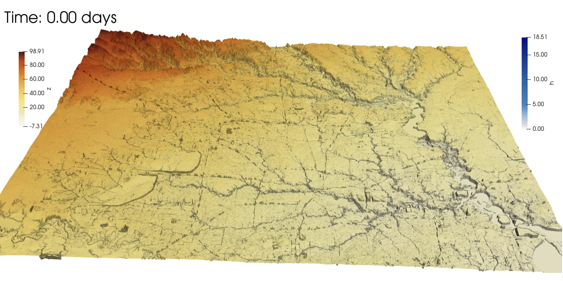
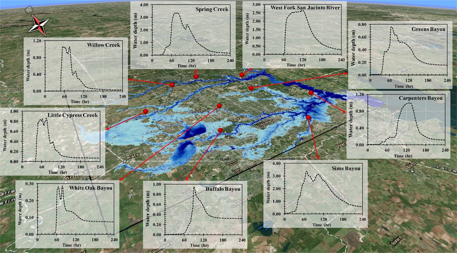
- TRITON utilizes topographical data (e.g., digital elevation model [DEM], light detection and ranging [LIDAR]), as its base input, in a uniform (Cartesian) grid structure. The model can be driven by streamflow hydrographs at specified locations or gridded runoff hydrographs, or both which serves as the model’s hydrological forcing. The primary TRITON output includes water depth and 2D unit discharge maps at user defined time intervals. Other variables such as unit discharge values can be outputted. TRITON can also output timeseries of simulated results as user-defined point locations. An example is shown below:
- TRITON is developed on Linux/Unix platform. The input/output files can be either in ascii or binary formats. A set of tools and instruction are provided for format conversion.
- The model utilizes International System of Units (SI). Users who are more familiar with United States (US) customary units need to perform proper unit conversion themselves.
*Morales-Hernández, M., Sharif, M.B., Kalyanapu, A., Ghafoor, S.K., Dullo, T.T., Gangrade, S., Kao, S.C., Norman, M.R. and Evans, K.J., 2021. TRITON: A Multi-GPU Open Source 2D Hydrodynamic Flood Model. Environmental Modelling & Software, p.105034, https://doi.org/10.1016/j.envsoft.2021.105034.